| Home |
| Mountains |
| Expeditions |
| Elbrus 2006 |
| Map |
| Height Diagram |
| Info |
| Slideshow |
Home |
Back to "Mountains" |
Back to Expeditions |
Elbrus 2006 |
Height diagram |
Info |
Deutsche Version |
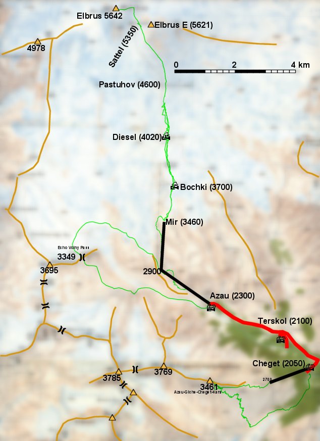
Elbrus 2006 - Map sketch

Map sketch with our routes drawn in green color.
Based on: Tourist Map Elbrus and Environs 1:50000, by V. Lyapin 1992, printed by A.C.C. Ko.Ltd. Moscow, Russia, 1993
(In the original map, however, cable car and Bochki refuges are not shown on the correct positions.)

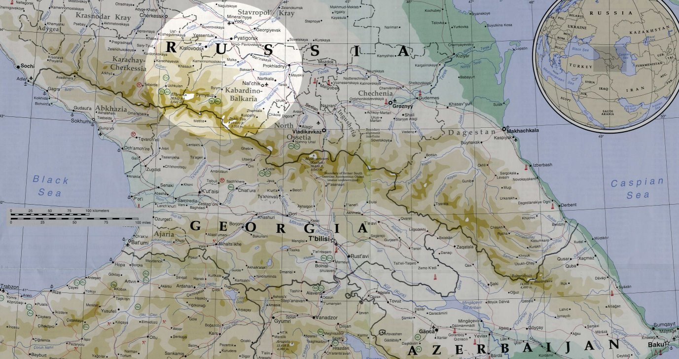
The map overview originated from
Home |
Back to "Mountains" |
Back to Expeditions |
Elbrus 2006 |
Height diagram |
Info |
Deutsche Version |
![]() This page is confirmed to comply with the HTML 4.0 standard.
This page is confirmed to comply with the HTML 4.0 standard.
Last update May 14,2006 by Hartmut Bielefeldt