| Home |
| Mountains |
| Expeditions |
| Kamet 2005 |
| Map |
| Height diagram |
| Info |
| Climbing History |
| Slideshow |
Home |
Back to "Mountains" |
Back to Expeditions |
Kamet 2005 |
Map sketch |
Height diagram |
practical info |
climbing history |
Deutsche Version |
Map Sketch Kamet
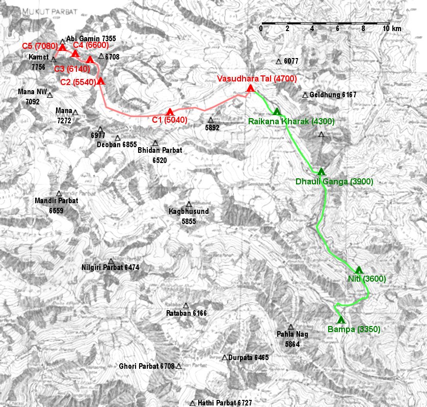
Sketch of our approach march (green) and the route towards Kamet (red), based on the map "Garhwal-Himalaya-Ost" 1:150000 by
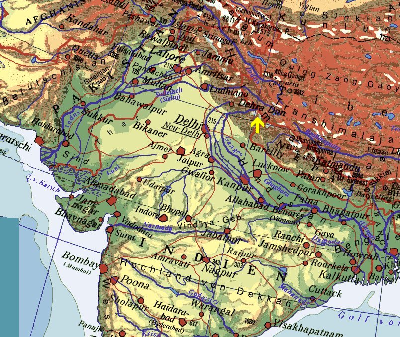
Approximate location of the map sketch
Home |
Back to "Mountains" |
Back to Expeditions |
Kamet 2005 |
Map sketch |
Height diagram |
practical info |
climbing history |
Deutsche Version |
Hartmut Bielefeldt
Sonnhalde 8
D-88699 Frickingen
© 2005 Hartmut Bielefeldt
![]() This page complies with the HTML 4.0 standard.
This page complies with the HTML 4.0 standard.
Last updated 23 July 2005 by Hartmut Bielefeldt