| Home |
| Mountains |
| Expeditions |
| Chile 2016 |
| map |
| height diagram |
| Info |
| Slideshow |
Home |
Back to "Mountains" |
Back to "Expeditions" |
Trip report Chile 94 |
Height diagramm |
Practical info |
Deutsche Version |
Maps Chile
Overview Chile 2016
Overview of the covered distances including the drive to the mountains. Please click onto the image in order to use the interactive view.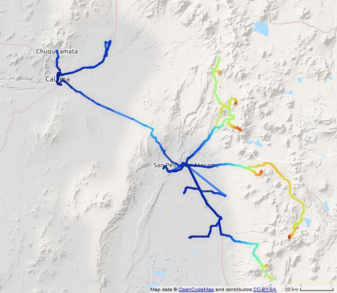
GPS track records for each mountain climbed
Cerro Jorquencal 4971 m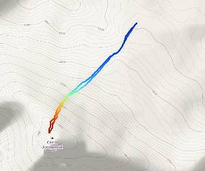 Download GPX-Track |
Cerro Corona 5291 m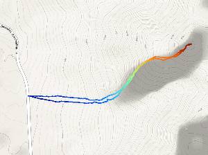 Download GPX-Track |
Tatio Sur 5200 m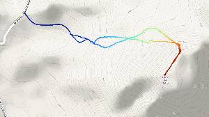 Download GPX-Track |
Cerro Colorado 5748 m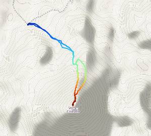 Download GPX-Track |
Versuch Sairecabur 5971 m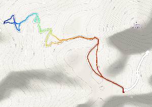 Download GPX-Track | |
Volcán Acamarachi (Pili) 6046 m/Cerro Negro de Pujsa 5135 m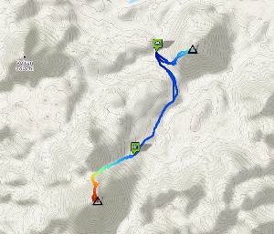 Download GPX-Track |
Cerro Toco 5604 m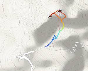 Download GPX-Track |
Home |
Back to "Mountains" |
Back to "Expeditions" |
Trip report Chile 94 |
Height diagramm |
Practical info |
Deutsche Version |
This page is confirmed to comply with the HTML 4.0 standard.
Last updated November 01, 2016 by Hartmut Bielefeldt