Home |
Back to "Mountains" |
Back to "Expeditions" |
Map sketch |
Height diagram |
Deutsche Version |
 Slideshow |
print version (no menus) |
Pamirs Expedition 1993:
On Top of Communism
Short version of my Pamirs travel report 1993
in German in "Mitteilungen des DAV Überlingen" 1994
© Hartmut Bielefeldt 1993
| Quick overview - mountains | |
| Peak Petrovsky | 4829 m |
| "Left Valley Guard" | 4750 m |
| Peak Vorob'eva | 5691 m |
| Peak Korzhenevskoj | 7105 m |
| Borodkin Buttress Summit | 6240 m |
| Peak Communism | 7495 m |
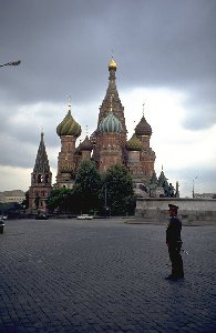
Basil's Cathedral in Moscow, once again...
After the flight to the base camp Atchik Tash at Peak Lenin via Moscow and Tashkent, we acclimatize there by climbing several 4000 m peaks. Some days later we fly by helicopter to base camp "Moskvin" which is situated in a unique place at 4400 m altitude between the two big and chaotic glaciers Moskvina and Valtera.
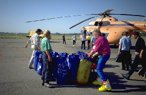
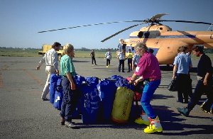
Loading the helicopter in Tashkent
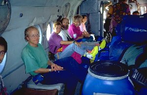
The slightly crowded helicopter is on the way to Atchik Tash.
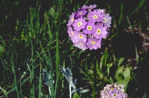
Sphere primula near the Peak Lenin base camp Atchik Tash
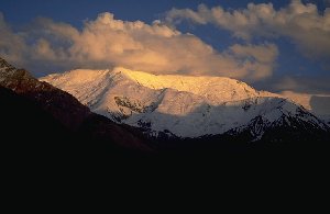
Peak of the XIX. convention of the Soviet Communist Party .
(It still hasn't changed name)
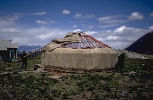
A yurt is being put together near Atchik Tash.
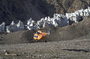
The helicopter is leaving base camp Moskvin again.
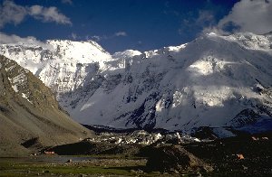
Camp Moskvin, in the back Peak Communism.
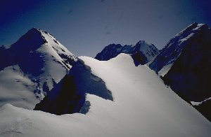
On the summit of Peak Vorobijev, looking to Peak of the Four, Peak Moskva and Peak Klara Zetkin
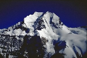
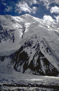
Peak Korzhenevskaja as seen from Vorobijev
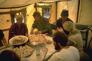
During bad weather, there's enough to do in the kitchen, too.
(We are folding something like Tadshik ravioli)
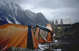
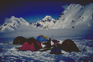
Our tents in base camp Moskvin, after bad weather and a helicopter "attack"
(Seems big fun for the pilot to leave the landing place only a few meters above the tents)
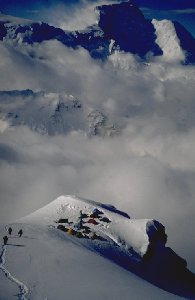
Peak Communism seen from camp 2 at Peak Korzhenevskaja
The following day we descend to the base camp, and we feel the exhausting summit day. Will we also make the second 7000m peak? We have six days left, so either - or. We have to do Peak Communism faster than previously planned.
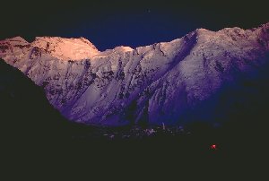
One of the nicest evening views one probably can see in the world:
Peak Communism thrones well 3000 meters above us; in the right half of the image the
Borodkin buttress.
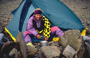
Claudia in "advanced base camp"
After a rest day, we walk up to the last comfortable campsite at 4700 m in the evening. (Until there, we can still transport the beer from the base camp bar and really can afford come comfort there). The next day is more serious: We expect 1600 nice height meters on a mostly not very difficult snowy buttress with some rocky parts (UIAA 3) with fixed ropes. Late in the evening we set up our camp on the big Pamir plateau at about 6000 m.
The next day we get up rather comfortably. Seven hundred height meter are pretty enough after yesterday; at 6600 m we set up our second camp in a quite tilted position, since there is few space here. Anyway - normally people make camp 3 here. After a badly slept night we get up at six and leave at seven o'clock. As we don't wont to stain the extraordinariliy good weather too much, we want to reach the summit already this day. After having to make the trace up to 6900 m, the snow becomes more solid, and one mostly can go about ten to twenty steps without a break. The irradiation from the sun is unexpedtedly high in this slope. Nevertheless it takes only four hours for 500 meters.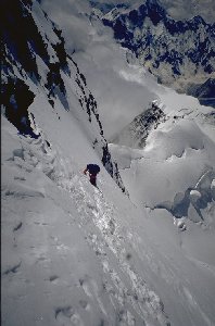
The final slope to Peak Communism is rather steep.
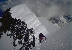
At the summit ridge of Peak Communism, at 7400 m.
From camp Moskvin, we fly back to Tashkent, leaving this city towards Germany after one day of visit.
NB.: Tashkent was almost completely destroyed by an earthquake in 1966. Whoever is interested in any culture before that date - we rather recommend Samarkand (see Expedition to Peak Lenin 1992). A "today's" city visit includes mainly the beautiful buildings of the new Ministeries of the Republic of Uzbekistan. Maybe as an alternative you are offered a visit to the public baths - better go to the baths.
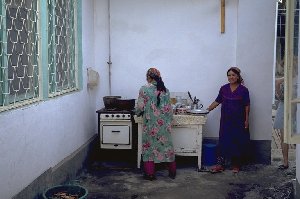
The "hotel kitchen" in Tashkent
(with the most modest means people achieved maybe more than in serveal "soviet" houses)
We undertook this trip in 1993 as participants of a 10-member commercial expedition organized by
Peak Communism (until 1986 Peak Stalin) was renamed to "Ismoil Somoni" in July 1998, honoring the founder of the first Samanide state 1100 years ago. Today's Tadzhik Republic sees its roots in this state.
I can also offer a detailed report of this expedition (in German, hoewever). It contains 17 pages and is hard to fit into the 1 MB size limit of my homepage; so I decided to include only the short version on my homepage. If you are interested in the complete text, please have a look at the download page or e-mail to me.
Email:Hartmut (at) bielefeldt.de
Home |
Back to "Mountains" |
Back to "Expeditions" |
Map sketch |
Height diagram |
 Slideshow |
Deutsche Version |
![]() This page is confirmed to comply with the HTML 4.0 standard.
This page is confirmed to comply with the HTML 4.0 standard.
Last updated October 17, 1998 by Hartmut Bielefeldt
