Home |
Back to "Mountains" |
Back to "Expeditions" |
Tien Shan 1998 |
Map sketch |
Height diagram |
Deutsche Version |
 Slideshow |
print version (no menus) |
Tien Shan - the Heaven Mountains
Short version of my expedition report Khan Tengri 1995(C) Hartmut Bielefeldt 1995
| Quick overview - mountains | ||
| Peak Chapaeva North | 6095 m | |
| Khan Tengri | 7010 m | Attempt up to 6400 m |
| Peak Trehglavnyj ("Triglav") | 5500 m | up to 5110 m |
| Peak Pesni Abaja | 4901 m | |
| Uchitel' | 4527 m | |
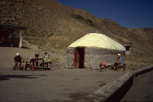
This yurt is a "travellers' inn" at the road from Almaty to Karakol
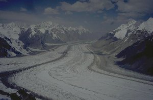
Southern Inylchek Glacier, view outside the valley
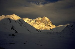
Shortly after a bad weather front has passed.
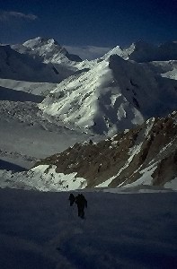
Ascending to our first high camp at Khan Tengri. In the background the Inylchek glacier and Peak of the Military Topographers (6860 m),
located directly at the Chinese frontier.
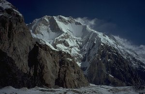
Peak Chapaev, seen from very far below.
The summit attempt some days later gets stuck in the doubtful weather of this region; it doesn't look that bad in the beginning, but for some days the sky covers. It's middle of August now, in the base camp winter is already expected. Quite often we have a very strange weather: Below 6000 m everything is clear, but above a tenacious, opaque cloud layer stays obstinately. That may have been the reason why Khan Tengri, visible from the valley, was first climbed already 1933, but only 20 km distant, much higher Peak Pobeda was "discovered" only in 1947 and finally climbed in 1956. (A secondary summit was climbed in 1938 by mistake, one wanted to make another mountain and had got lost in the fog.)
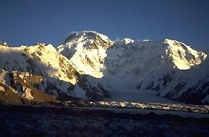
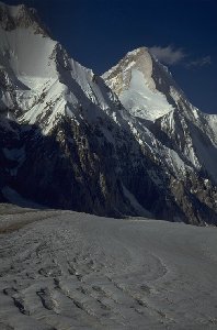
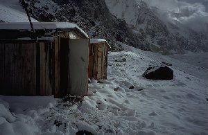
Peak Pobeda seen from the base camp. This view is given sitting at the most important location of every basecamp (the loo).
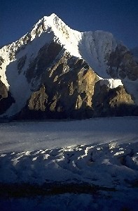
Peak Maxim Gorki (6050 m) is enthroned directly above the basecamp South Inylchek.
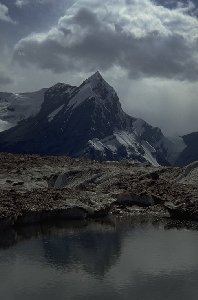
Peak Pesni Abaja (4901 m), on the other side of the glacier
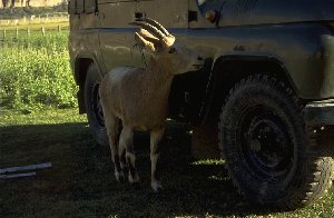
Tame mountain goat in the "lower" camp Maida Adir at 2500 m, where
we change from helicopter to truck (if the truck would arrive...)
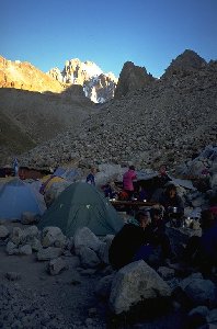
Camp site Ak-Saj (3300 m) in the Ala-Archa valley
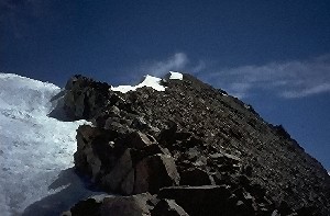
Shortly before the "Teacher's" summit
Besides this, we can have a short bath in Lake Issyk-Kul on the way back. Although at 1600 m altitude, it never freezed in winter - and winter is quite hard here. Beautiful bathing water.
At the end of our trip we visit Bishkek, making a rather rural impression. After a seven hour trip through steppe and a lot of nothing (except one radar control) we reach Alma-Ata (newly: Almaty), which still was the capital of Kazakhstan in August. Newly, the Kazakh have changed the capital to Aqmola which is situated more in the center of the country: From Almaty to the kyrgyz border it is only 40 km, and that's unique for a country of more than 1000 km x 1000 km. Another unique thing about Almaty is the airport: Quite seldomly you see 4000 m peak so close to the runway from an airport with reasonable altitude.
©Hartmut Bielefeldt 1995
©Hartmut Bielefeldt 1997 for the English version
Remarks
We undertook this trip as participants of a commercial expedition.
We will not quote the name of the German organizer, as probably it would not be very good for his reputation. Several organization failures concerning equipment that was made available from tent to shovel(s), high camp food and general incapacities, lead us to a clear judgement of this organization. If you anyhow would like to know the name of the organizer, please send me an e-mail, and you will be immune to future misplanings.
E-mail: Hartmut Bielefeldt
P.S.: I would like to point out that this was not the organizer we used for our trips in 1992 and 1993 as well as for 1997. This Tien Shan trip was the first and the last we got organized by that company.
Home |
Back to "Mountains" |
Back to "Expeditions" |
Tien Shan 1998 |
Map sketch |
Height diagram |
 Slideshow |
Deutsche Version |
![]() This page is confirmed to comply with the HTML 4.0 standard.
This page is confirmed to comply with the HTML 4.0 standard.
Last updated November 14, 1997 by Hartmut Bielefeldt
